Distribution
- To view the sengi distributon maps requires that Google Earth is installed on your computer. Optimal browser is Firefox.
- For permission to use map data, other than viewing, please contact Galen Rathbun at grathbun@gmail.com.
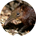
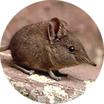
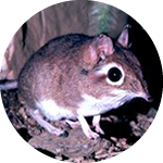
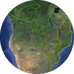
- To view a distribution map, click on a sengi image. If Google Earth map does not open, then in popup window open file, or save it to desired location on your computer, minimize distribution page, and click on saved file to open in.Google Earth map.
- On the Google Earth map, use pan and zoom functions, and click on any point for associated data.
- Locations are shape and color coded to species – click on location icons for details. Solid dots are petrophiles (rock dwellers), open dots arenophiles (compact sand dwellers).
- Methods used for these 2017 maps click HERE.
- Map of African countries, click here [JPEG].
- Table of sengi species by country, click here.
- Sengi taxonomy, species abbreviations, IUCN Red List status, and historical maps, click here.
